11:30 p.m.
Alternative (more space balance):
i. North Zone: 8,884 sq km
1. Jaffna: 2,304
2. Vanni: 6,580
ii. South Zone: 10,098 sq km
3. Kegalle: 1,693
4. Galle: 1,652
5. Matara: 1,283
6. Hambantota: 2,609
7. Badulla: 2,861
iii. East Zone: 15,635 sq km
8. Ampara: 4,415
9. Batticaloa: 2,854
10. Trincomalee: 2,727
11. Monaragala: 5,639
iv. West Zone: 15,477 sq km
12. Ratnapura: 3,275
13. Colombo: 699
14. Gampaha: 1,387
15. Kalutara: 1,598
16. Puttalam: 3,702
17. Kurunegala: 4,816
v. Central Zone: 16,146 sq km
18. Anuradhapura: 7,179
19. Kandy: 1,940
20. Nuwara Eliya: 1,741
21. Matale: 1,993
22. Polonnaruwa: 3,293
***
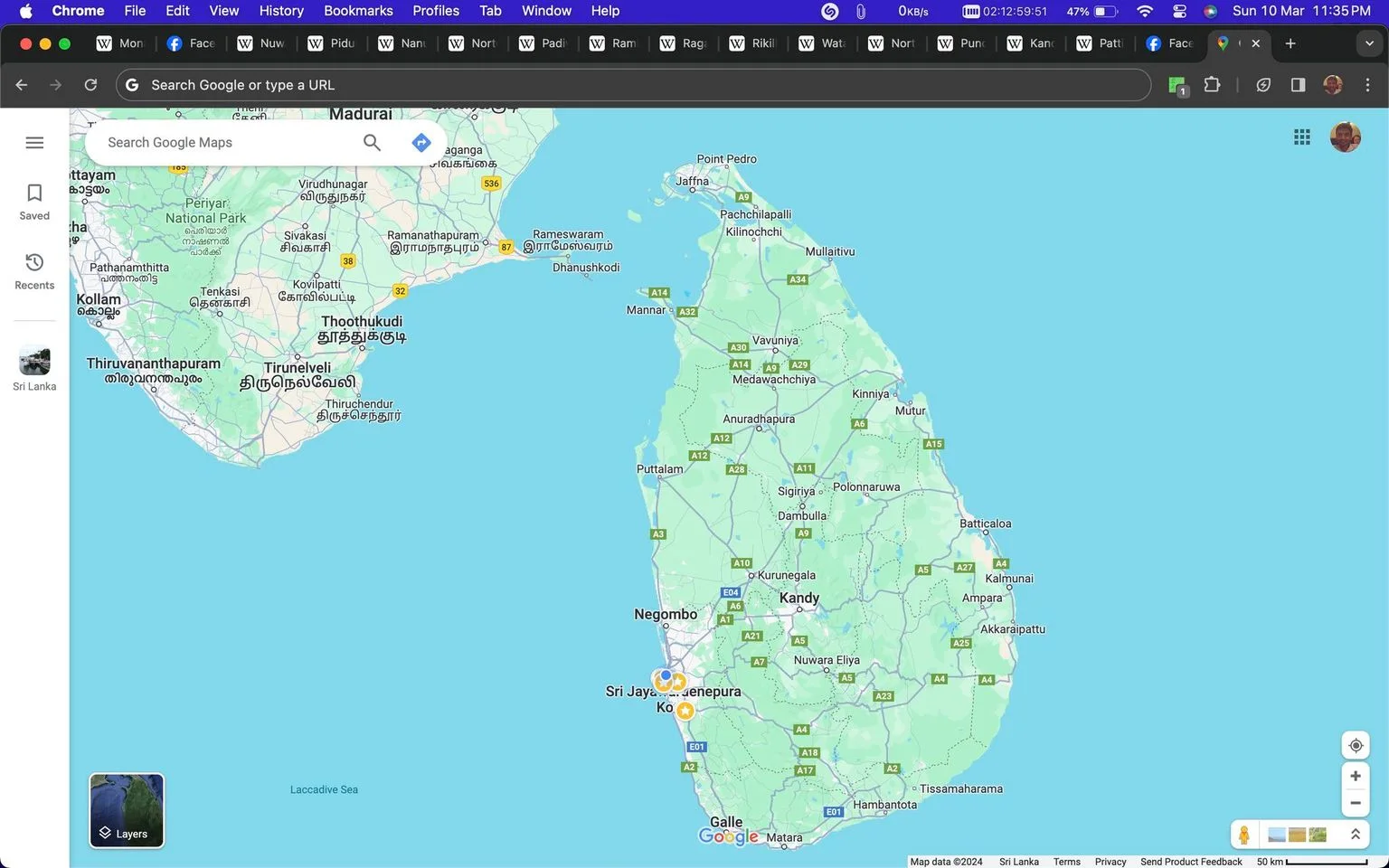
Now, I mean, North is smaller, as the map shows, and otherwise, the central zone, is slightly bigger, along with the East Zone
It's a bit more balanced
I personally, am unsure, which is a good sign in my case as it means I'm objective or open to objectivity, but am leaning towards original
This is because
No
███████████████████████████████████████████████████████████████████████████████████████
██████████████████████████████████████████████████████████████████████████████████████████████████████████████████████████████████████████████████████████████████████████████████████████████████
***
I guess, I like the second option
Most people, the lesser leaders, they zone like the cities, but the greater leaders, they zone the whole island